628 Results
Card Results Facet Summary
Image
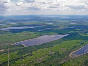
Photograph - Aerial view of Flat Lake and surrounding area
Image
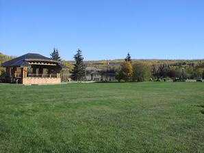
Photograph - View of the park area in front of the stage with the Athabasca River and bridge in the background
Image
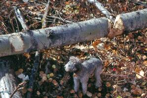
Photograph - Only occasionally will beaver section such a large log, especially as this was done by beavers at a small pond; there was no dam to reinforce; Toy poodle for scale
Image
Photograph - Close-up of red barn
Image
Photograph - View of Lac la Biche from Mission grounds. Lac la Biche, AB
Image
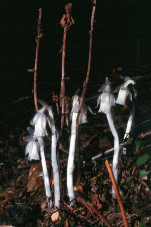
Photograph - Fresh flower stalks with previous year's stalks in background. Also called ghost plant, Indian pipe or corpse plant
Image
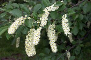
Photograph - Several clusters of white flowers
Image
Photograph - Farmland and boreal forest dissected by a stream
Image
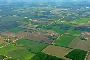
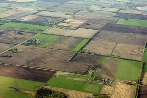
Photograph - Scene dissected diagonally with a grid road and showing Section divisions near Westlock, AB
Image
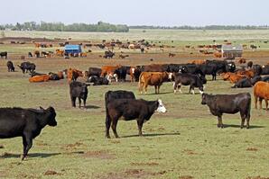
Photograph - Young cattle in grassy feedlot, Barrhead, AB
Image
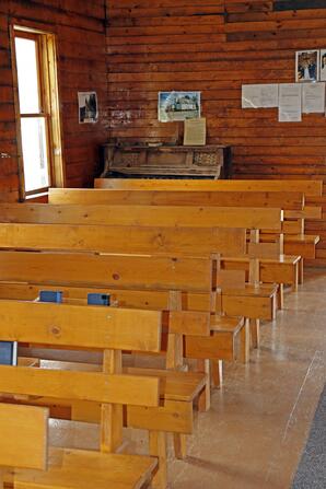
Photograph - Interior view facing towards the entrance
Image
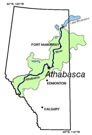
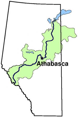
Map - The Athabasca River Basin in green; lakes in blue; outline of Province of Alberta; transparent
Image
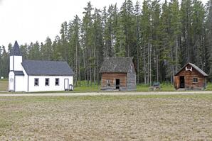
Photograph - From left to right: church, 2 cabins. Whitecourt, AB
Image
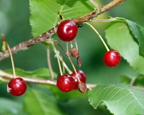
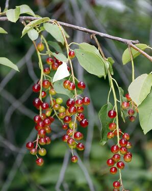
Photograph - The fruits change from green to yellow to red to dark purple/black
Image
Photograph - Miniature of Rectory built on location of original site. Lac la Biche, AB
Image
Photograph - Landscape view of building
Image
Photograph - From left to right: church, 3 cabins. Whitecourt, AB
Image
Map - The Athabasca River Basin in green; lakes in blue; outline of Province of Alberta; transparent background
Image
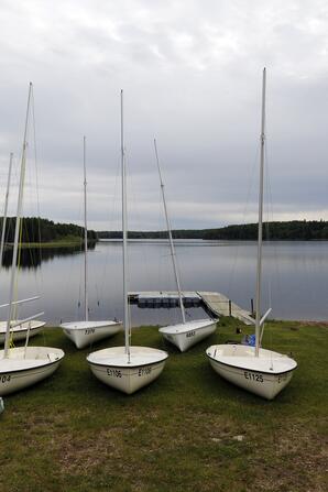
Photograph - Sail boats on shore with pier in background
Image
Photograph - Ponds let sand settle to bottom and unextracted oil to float to the surface. Near Fort McMurray, AB
Image
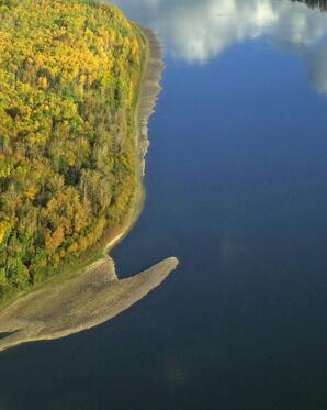
Photograph - River with sand and reflected clouds
Image
Photograph - Brown sign
Image
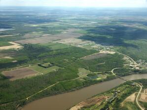
Photograph - Aerial view of East Hill of Town of Athabasca, Athabasca bridge at bottom right
Image
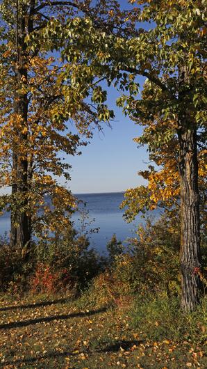
Photograph - Balsam poplar framing the lake
Image
Photograph - Butterflies sucking on wet sand for salts
Image
Photograph - Diagonal road across farmland near Westlock, AB
Image
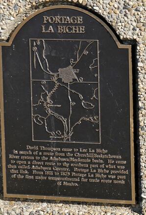
Photograph - Plaque describing importance of the portage
Image
Photograph - Municipal building with trees
Image
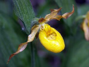
Photograph - Single flower on a diagonal
Image
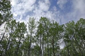
Photograph - Green aspen against a blue and white sky
Image
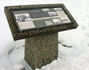
Photograph - Interpretive sign
Binary
Map of the Athabasca River Basin in green; lakes and rivers in blue; tan shaded Province of Alberta; names of surrounding provinces, etc.; black background
Image
Photograph - The fruits change from green, to yellow to red to dark purple/black
Image
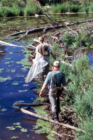
Photograph - Beaver dams make good bridges for crossing streams
Binary
Map - The Athabasca River Basin in green; lakes and rivers in blue; tan shaded Province of Alberta; names of surrounding provinces, etc.; transparent background
Image
Photograph - 3 aerators
Image
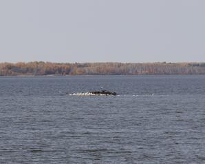
Photograph - The white birds were mostly gulls
Image
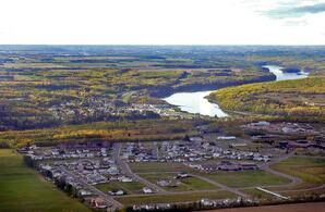
Photograph - Cornwall subdivision with river rest of town in background
Binary
Map - The Athabasca River Basin in green; lakes and rivers in blue; tan shaded Province of Alberta; names of surrounding provinces, etc.
Image
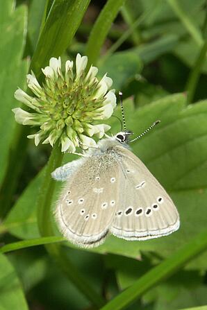
Photograph - Clover blossom at top left with butterfly hanging down

